User:Vincecate/AnguillaTestLocations
Contents
Anguilla Test Locations
The test sites that I used and liked in Anguilla are:
In the water or near pier
Early on most of my video was shot with a $120 waterproof camera while floating in the water next to the model. I also used a camera with a 4x zoom with models near a pier.
- Shoal Bay - 200 foot swim past reef to deep water
- Outside Island Harbor - Kayak 1/2 mile past small island and reef to very deep water
- Pier inside Island Harbor - Tripod on pier and swimming in water about 8 feet deep
Possible deep water test locations near land
Now I have a really nice camera that can shoot 210 frames-per-second and has a 20x zoom. This is not a waterproof camera so I need to shoot from a tripod on shore. Would like to be able to test models with long hanging ballasts and so want a place with deep water right next to a rocky shore but not too far from a beach so I can get in and out with a kayak to position models. Two places that might work are:
- south side of east end - beach on the left and deep water near rocky shore in upper right - on windward side of island so larger waves
- west of Shoal Bay - on protected side of island so waves will be smaller
- point between little bay and limestone bay - different sides of this point can have different sized waves, which could be handy. Can get high up so that when shooting out 200 feet you still have enough down angle. On downwind side of island.
The Canon that I used from the pier in previous experiments has a 4x zoom and video was usable 100 feet from pier and great at 50 feet. With a 20x zoom I should be in fine shape from this rocky shore.
If I have a PVC pipe sticking up from the model with every other inch of it black I will be able to measure movements and waves in the video using this for scale.
Ride On Model Test Locations
For the ride on WaterWalker2 I used sandy point beach but there were shallow rocky areas downwind. So I am planning the next attempt at a beach on rendezvous bay north of the Anguilla Yacht Club pier. The road below is near the top edge of this google maps view.
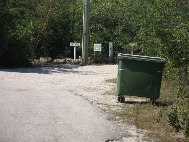
To get to this beach you go down the main road in the "Culdisack" area till you see this sign saying Cedars. Then turn right and keep right at fork right after this.
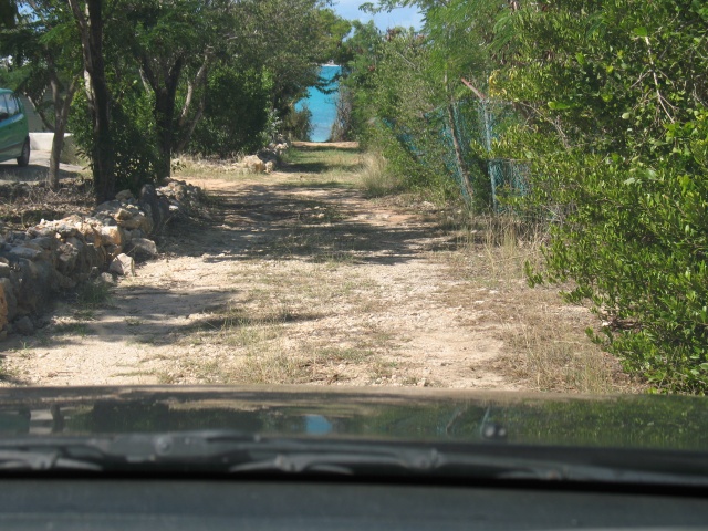
The road will go North for a bit then turn left and head straight West to the beach. But there is no place to park.
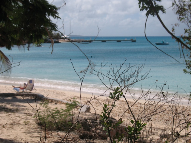
Can see the yacht club off to the left.
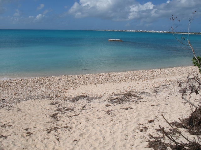
Nice big Rendezvous bay is downwind from us. Should be able to avoid rocks here.


